


Targeted spraying and spreading that reduces soil compaction, protects crops, and applies products exactly where they’re needed.
Targeted spraying and spreading that reduces soil compaction, protects crops, and applies products exactly where they’re needed.

Multispectral imaging identifies stress, disease, and nutrient issues early—so you can act before yield is impacted.
Multispectral imaging identifies stress, disease, and nutrient issues early—so you can act before yield is impacted.

Detailed aerial insights help you evaluate drainage, stand uniformity, problem areas, and overall field performance.
Detailed aerial insights help you evaluate drainage, stand uniformity, problem areas, and overall field performance.

RTK-level maps and orthomosaics provide precise measurements for planning, documentation, and long-term land management.
RTK-level maps and orthomosaics provide precise measurements for planning, documentation, and long-term land management.
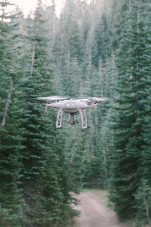
Drone data for timber inventory, stand health, replant planning, and aerial seeding in hard-to-access areas.
Drone data for timber inventory, stand health, replant planning, and aerial seeding in hard-to-access areas.
Thermal surveys and aerial mapping support herd analysis, habitat improvement, and responsible wildlife management.
Thermal surveys and aerial mapping support herd analysis, habitat improvement, and responsible wildlife management.

Aerial seeding and nutrient application help establish forage, repair thin areas, and improve grazing productivity.
Aerial seeding and nutrient application help establish forage, repair thin areas, and improve grazing productivity.

Cover crop seeding, soil-health practices, and precision application designed to improve sustainability and long-term land value.
Cover crop seeding, soil-health practices, and precision application designed to improve sustainability and long-term land value.