February 17, 2026/
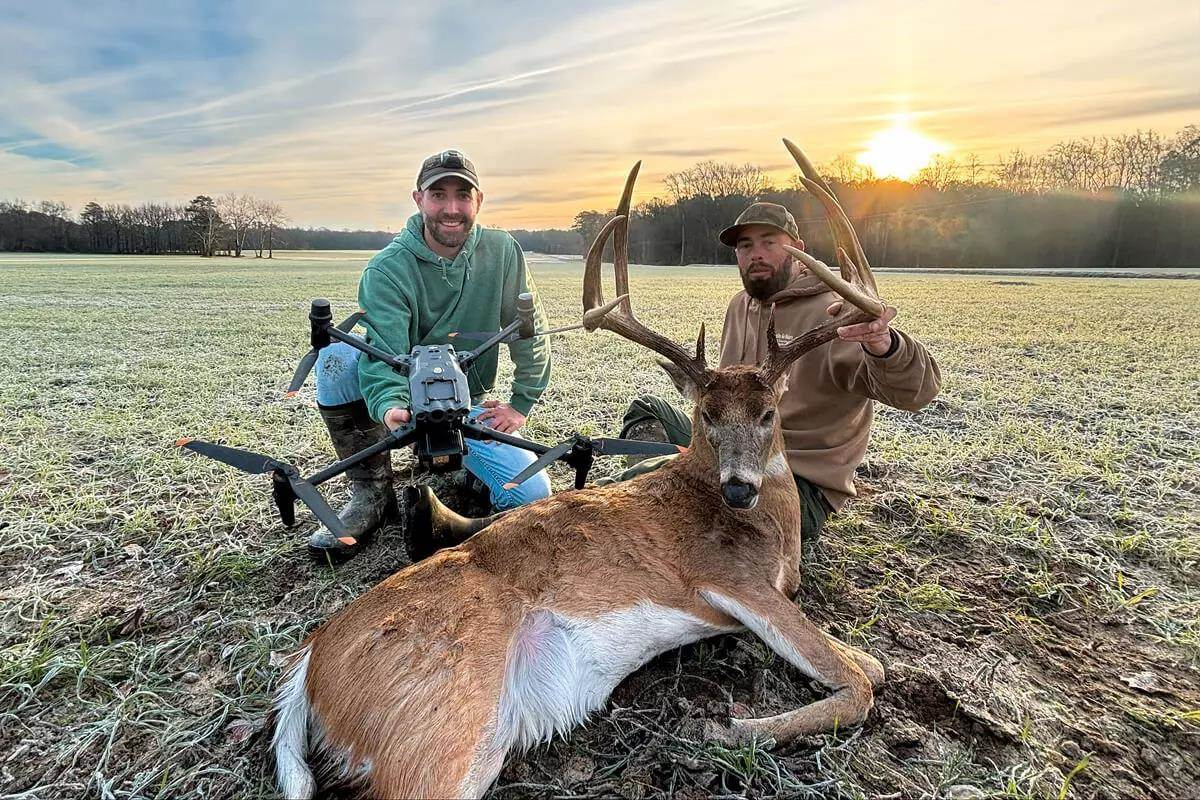
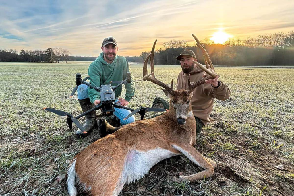
Thermal drones are changing the game for deer recovery and herd analysis.
Advanced aerial imaging and thermal intelligence to locate, document, inspect, and tell the story of the land and assets below.
I'm sure Jut thought I was crazy when I asked him to search for my trophy buck after I told him there was no blood trail. After spotting numerous squirrels from over 300 feet in the air using thermal vision, Jut said, GOT HIM! He dropped a pin and we collected the prize. A true professional in his craft and technology, money well spent.


Jut and his company definitely go beyond to ensure his customers are taken care of. Whether it’s marketing, deer recovery, lost pets or people, Agricultural services…Jut has the ability to capture those moments! I watching him fly drones during a fireworks display to searching for lost animals. He loves what he does, he loves to get kids involved and his passion for your happiness is his reward…
We understand agriculture, land management, wildlife, and real-world operations — not just drones.
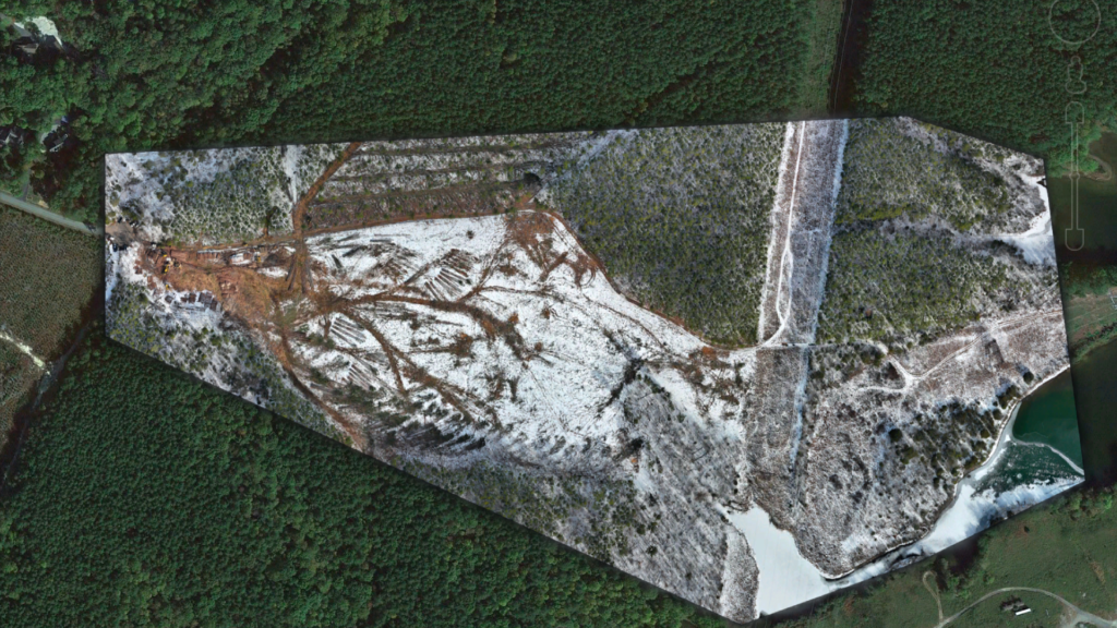
Agricultural, forestry, mapping, thermal services, inspections, and aerial media — all under one platform.

RTK accuracy, thermal imaging, multispectral sensors, and high-resolution mapping for reliable results.
Thermal drones are changing the game for deer recovery and herd analysis.