

STOP GUESSING.
Start knowing.
Thermal deer surveys, mapped observations, and detailed reporting to help you understand the herd using your Virginia property. Built on more than 30,000 acres of survey experience.
Need deer recovery? →See actual report photographs ↓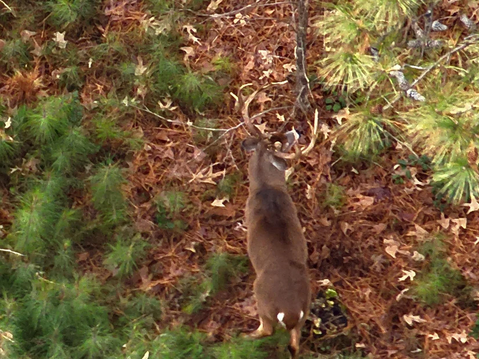 CAPTURED MEDIA / DEER SERVICES
Experience in the field.
Clarity in the report.
Know what’s there.
Watch the work.
A look at our deer herd analysis work from the field. Explore the photographs and sample report below to see how observations help build a clearer picture of your property.
Talk through a herd survey ↗See what we see.
Understand what’s there.
Actual optical drone photographs from our report work. A closer look at deer, the cover around them, and the detail behind the observations.
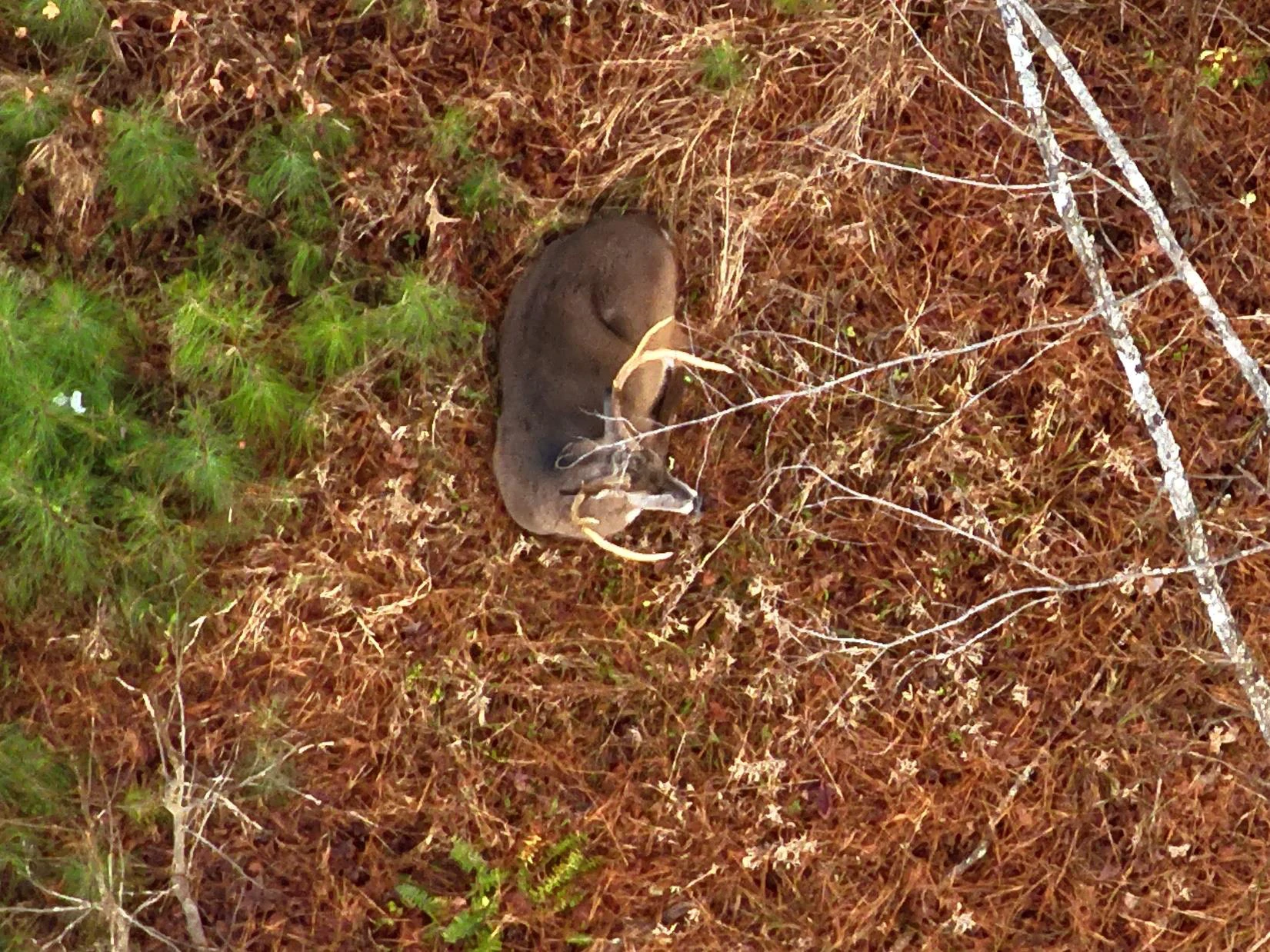
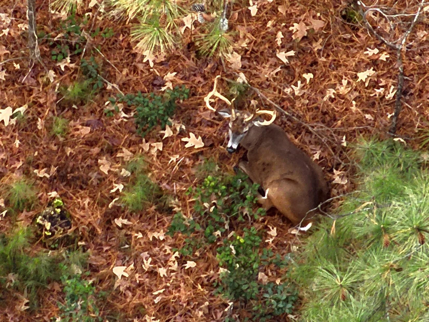
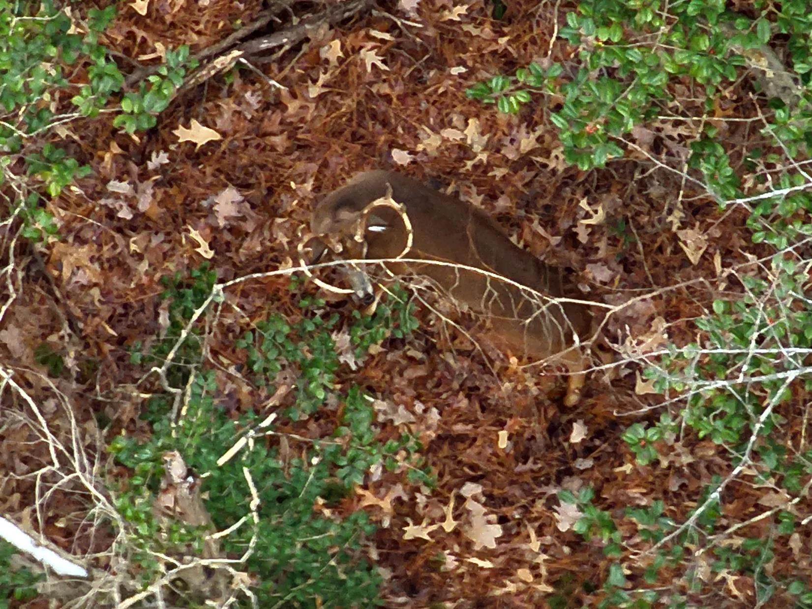
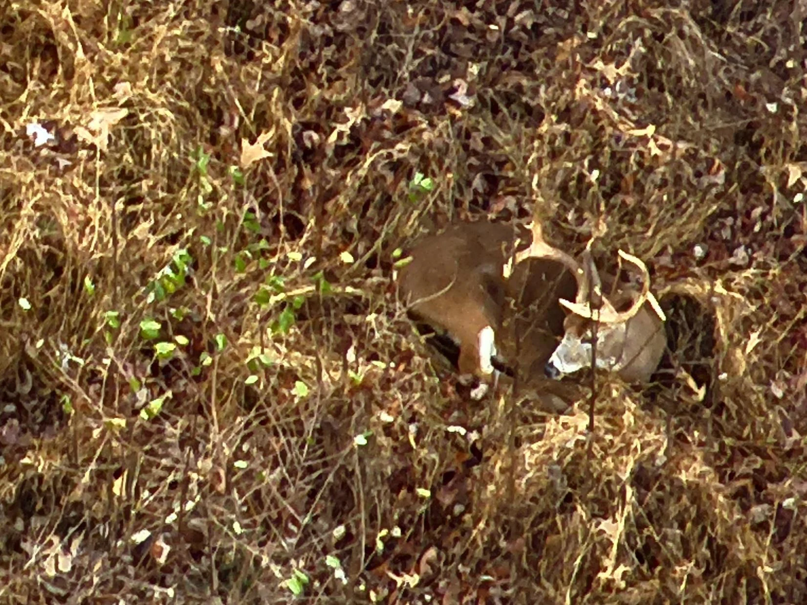
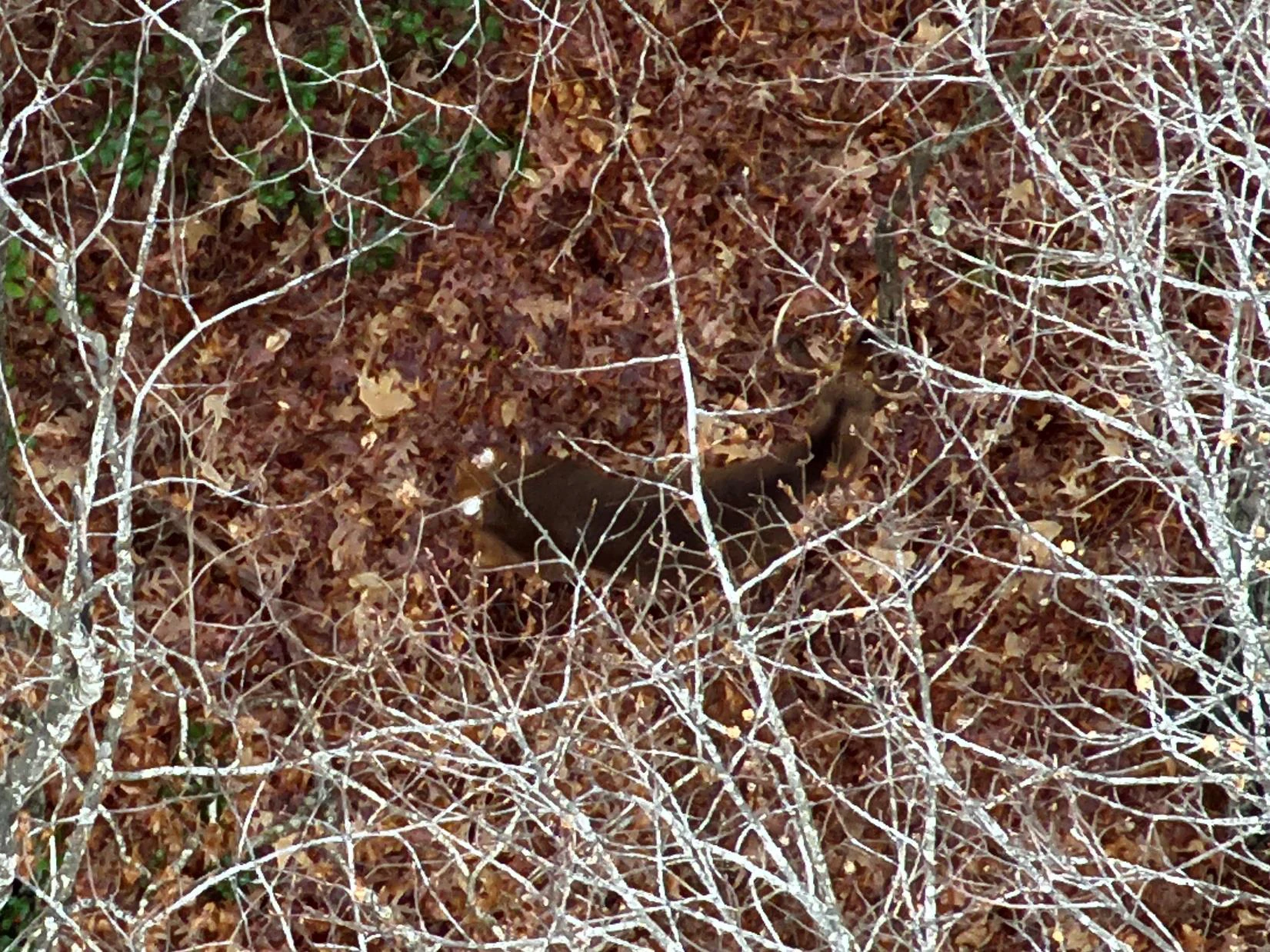
Real report imagery. Client identity, survey location, and original records remain private. Photographs may show repeat views; this gallery is not a count of individual deer.
Explore the sample report ↓STOP WONDERING.
START KNOWING.
You’ve invested in food plots, habitat, and time in the woods. Get a clearer picture of the deer using your property, and a better starting point for what comes next.
A snapshot of your herd.
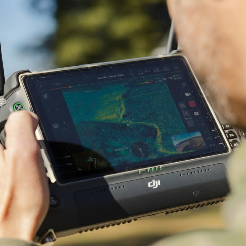
Thermal observations help document deer locations and herd composition where identification is possible. Get insight grounded in what we observe on your property.
Detection depends on canopy, weather, and animal movement. Survey findings reflect conditions and observations during the flight.
KNOW WHAT’S THERE.
See the whole property.
From individual observations to the bigger picture. Explore a fictional 400-acre example with 77 deer located in woods, brush, and regenerating cover.
Fictional demonstration. One marker per deer. Acreage, observations, and landscape are illustrative, not a client survey. Pin placement illustrates animals in cover; it does not suggest deer never use fields.
22 bucks / 55 does. An example observed ratio of 1 buck to 2.5 does.
See how observations relate to woodland, brush, and cutover habitat.
Use the observations to frame habitat questions, priorities, and future monitoring.
700 ACRES OF POTENTIAL.
Give every improvement a purpose.
Explore how a report can guide the next conversation: where to improve food, where to develop cover, and how to think through access. Switch between the property and its conceptual plan.
Evaluate existing openings, soils, and seasonal needs before choosing plot locations and plantings.
Identify areas to assess for bedding cover, early successional habitat, and lower disturbance.
Consider how routes, wind, terrain, and timing affect pressure on the property.
Fictional 700-acre planning concept. Proposed areas and routes are examples, not field-ready prescriptions. Your recommendations follow an assessment of your property, goals, and site conditions.
Talk property strategy with Jut ↗YOUR PROPERTY. YOUR DATA.
Your hunting advantage.
Connect your herd analysis with Captured Hunt to put property information, deer observations, and hunting plans in one place.
Explore Captured Hunt ↗GOOD
QUESTIONS.
What does a herd analysis include?+
We discuss your property and goals, conduct a thermal survey when conditions are suitable, then prepare mapped observations and a detailed report with management guidance.
When should I schedule?+
We are booking the November–March window. Actual flight timing depends on weather, canopy, property access, and availability.
Can you help with deer recovery?+
Yes. Call with your location, shot time, and last known position. We’ll discuss availability and whether a drone search is appropriate.
NORTH AMERICAN WHITETAILEyes in the SkyRead Jut’s story of thermal drones and deer recovery ↗